Introduction
This concise master guide gives overlanders, map-makers, and Publishers the interactive layers and downloadable packs (KML/GPX/GeoTIFF) you need to plan safe, publishable trips across the Arabian Desert — from the remote Rubʿ al-Khālī and the red dunes of An-Nafūd to the family-friendly circuits of the Wahiba Sands. Use the supplied topo/DEM layers, GPX itineraries, and vehicle & safety checklists to turn planning into a reliable, permit-aware expedition.
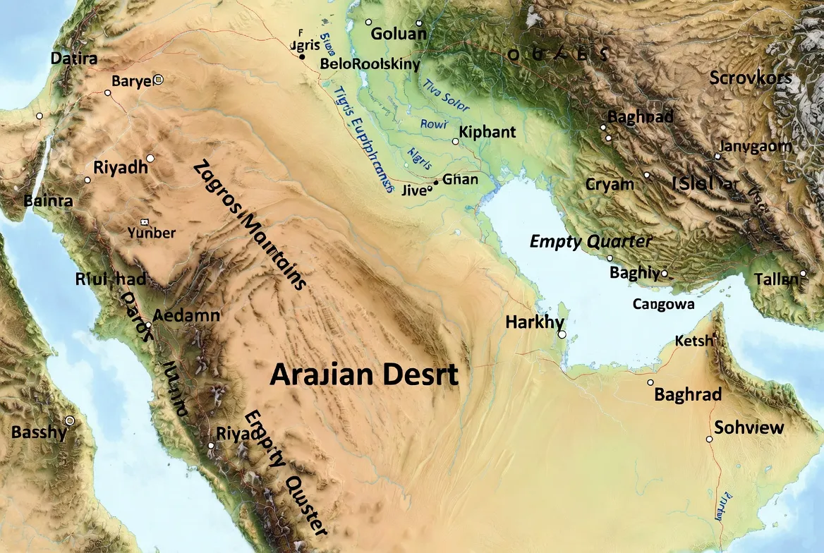
Quick facts & map at a glance
The Arabian Desert is not a single homogenous flat plain — it’s a complex of sand seas (ergs), gravel plains, and wadis that sweep across most of the Arabian Peninsula. The largest contiguous sand sea in the region is the Empty Quarter (Rubʿ al-Khālī), a hyper-arid, sculptural landscape of mega-dunes and broad interdune corridors. Reliable satellite imagery and raster datasets are invaluable for planning: use NASA imagery and Landsat/DEM layers to preview dune patterns, palaeolake beds and seasonal drainage lines before fieldwork.
Where the Arabian Desert is — countries & sand seas
The Arabian Desert touches and crosses international borders. Major states and features to account for:
- Saudi Arabia — contains the largest share of the Empty Quarter and the red dunes of An-Nafūd.
- Oman — home to the Sharqiya / Wahiba Sands and southern desert approaches into the Empty Quarter.
- United Arab Emirates — the Liwa region sits on the northwestern flank of Rubʿ al-Khālī.
- Yemen, Qatar, Jordan and Iraq represent ecological and transitional edges of the desert.
Why country boundaries matter for planning: permits, rescue infrastructure, and legal requirements differ per state. Wherever possible, layer the country-level legal/consular info into the KML/GeoTIFF so that a user toggling a country layer also sees the nearest consulate, emergency contacts, and border crossing rules.
Key regions to visit — short subguides & sample coordinates
Below are copy-ready mini-guides for each major sand area. Paste the sample GPS pins into your KML download pack.
Rubʿ al-Khālī
Why go: cathedral-scale dunes, dramatic light for photography, and a true sense of remoteness. Crossing the Empty Quarter is an Expeditionary challenge and requires staged fuel, recovery support and usually local permits. Use satellite imagery to plan dune passes and palaeolake stops before committing to deep desert legs.
Sample GPS pins (drop into KML):
- Edge staging (Liwa Oasis approach): 23.5500N, 53.7000E (Liwa staging).
- Central dune field sample: 19.9000N, 47.0000E.
- Historic Shisr/Ubar vicinity (archaeological interest): 18.0000N, 54.0000E.
An-Nafūd
Why go: striking brick-red dunes with cultural stops near Al-Ula; dunes here are often wind-sculpted crescent forms. Access is simpler from northern Saudi gateways, but local wind regimes can shift dune crests quickly — plan for seasonal variability.
Sample pins:
- Al-Ula approach point: 26.7000N, 37.9000E.
- Central Nafūd dune: 27.0000N, 39.0000E.
Dahna corridor
A narrow ribbon of dunes connecting An-Nafūd to the Empty Quarter. The corridor’s linear dunes demand waypoint-based navigation; straight compass headings will often lead you off track.
Sharqiya / Wahiba Sands
Why go: the Sharqiya / Wahiba area is accessible, dramatic, and ideal for short family trips, commercial camps, and a first-time dune experience. It’s a compact erg with many established camp operators and easy staging from Muscat and Nizwa.
Sample pins:
- Popular camp zone: 22.8000N, 59.2500E.
- Dune crest sample: 22.9000N, 59.3000E.
How to use the files — quick tutorials
Google Earth
Open .kml/.kmz directly. Toggle layers for “dunes/camps/fuel”. Right-click a track → Save → Export to .gpx if you want to import into a phone navigation app.
QGIS
Load arabian-desert-geotiff.tif as the raster base. Add the KML/KMZ layers. Style dune polygons with low-opacity fills and labels for oases & staging towns.
Gaia GPS / OsmAnd / Locus
Import GPX files via in-app import or by emailing the GPX to your phone. Use waypoint mode for “drive to coordinate” legs in soft sand.
Printable maps
Open the SVG in Inkscape or Illustrator, add your logos and export to compressed PNG/PDF for print or mobile.
Best itineraries — day-by-day with distances, hazards & overnight coordinates
Below are publication-ready examples you can paste into tables and link to the corresponding GPX file.
2-day Wahiba Sands — family, easy
Day 1 — Muscat → Wahiba fringe, dune play — ~250 km, allow 3.5–4 hr. Main hazards: soft sand (drop tyre pressure), wildlife crossing near wadis. Overnight: 22.8000N, 59.2500E. (See wahiba-sands-family-2day.gpx.)
Day 2 — Sunrise dunes, return to Muscat via Nizwa — ~300 km, allow 4–5 hr. Main hazards: desert washouts near wadi exits and traffic near town approaches.
3-day Rubʿ al-Khālī loop — advanced
Day 1 — Staging town → edge dunes (150–250 km) — check permits; final fuel top-up at staging town. Overnight: 23.xxN, 50.xxE.
Day 2 — Deep inland crossing (200–280 km) — prepare water caches and recovery crew. Overnight: 20.xxN, 48.xxE.
Day 3 — Exit & recovery → town (200–300 km) — recovery crew meets at waypoint. (See rub-al-khali-sample-track.gpx.)
7–14 day expedition — research/archaeology
Designed for staged crossings with rest days at oasis towns and archaeological stops such as Shisr/Ubar and rock-art sites. Each day is a GPX segment; include daily fuel contingencies and a designated recovery vehicle. For archaeologically oriented expeditions, coordinate with local antiquities authorities and avoid disturbing sites — photograph, record, and report.
Route logistics — permits, borders, fuel & guides
Permits & legal issues
Permits and visas vary by country and by specific desert areas. For deep crossings or cross-border legs, you will usually need written permission and, in some cases, an escorted transit with local authorities. Do not assume rules are static: embed links or a small, frequently updated table for country-level permit offices.
Fuel & water planning
- Expect to burn 15–30% more fuel than a flat-road estimate in dune country.
- Never plan more than 300–400 km between known fuel points unless you arrange fuel drops.
- Carry long-range tanks + 2–3 jerry cans per vehicle for remote crossings. Create a fuel sheet in your GPX pack that lists known petrol stations by GPS, opening hours, and estimated pump types.
Guides & recovery
Hire operators with recent positive references and verifiable recovery gear. A 4×4 operator with recovery trailers, trained drivers, and local authority contacts is worth the extra cost. Vet operators via recent reviews and direct references.
Communications
Satellite communicators (e.g., Garmin inReach) are essential; cellular coverage will be patchy or absent in the deep desert. Include short, machine-readable medevac protocols as a README.txt inside your download zip: who to call, coordinates format, and what to say.
Vehicle & gear checklist
This checklist is meant to be exported as a one-page printable PDF and included in your downloads folder.
Essential vehicle mods
- 4×4 drivetrain with low-range transfer case.
- Long-range fuel tank(s) or securely mounted jerry cans.
- Heavy-duty recovery points rated for vehicle mass.
- Dual-battery system with isolator.
- Snorkel (optional but useful in dusty environments).
- Sand/all-terrain tyres (consider legal beadlocks where permitted).
Recovery & tools
- Soft shackle, snatch straps, snatch block, kinetic rope.
- High-lift jack + sand base plate, folding shovel, traction boards.
- 2 spare wheels for long crossings.
- Tire repair kit, compressor, pressure gauge.
Engine spares
- Belts, hoses, filters, spare fuel filters (diesel), and essential fuses.
Navigation & comms
- Primary GPS device + smartphone app backup.
- Paper maps and a compass.
- Satellite communicator with SOS and a backup handheld.
- Two-way radios (UHF) for convoy work.
Water & health
- Minimum 6 L/person/day (baseline) — increase for heat or strenuous activity.
- First-aid kit including heat-illness supplies and oral rehydration salts.

Safety — navigation, heat illness prevention & emergency plans
Navigation tips
Use waypoint-based legs rather than blind compass headings across dune seas. Dune crests move with the wind — rely on GPS coordinates and stop frequently to re-orient. Share your GPX track and daily schedule with a dependable contact and set prearranged check-in times.
Heat strategy
Travel and heavy work should occur in the early morning or late afternoon. Avoid strenuous activity during midday; watch for early heat-illness signs: confusion, headache, nausea, dizziness.
Emergency plan & medevac
Embed nearest evacuation airstrips and medevac contacts as a layer in your KML/GeoTIFF downloads. Ensure your satellite communicator is configured with an emergency protocol and that the person receiving the SOS can provide local rescue details.
Insurance
Confirm your policy covers remote rescue and cross-border operations; many insurers exclude very remote desert rescues. Get written confirmation and carry a copy in your vehicle.
Flora, fauna & archaeology — what you might see and how to behave
Flora & fauna
Expect drought-tolerant plants that bloom after rare rains. Fauna can include gazelles, Arabian oryx (where reintroduced), foxes and migratory birds using wadis. Respect protected areas and breeding seasons.
Archaeology & rock art
Recent excavations across northern Arabia and oasis routes have produced significant findings — researchers are actively working at several sites. If you encounter archaeological remains: photograph, leave in place, and report significant finds to local authorities or museum contacts. Avoid collecting artefacts or disturbing deposits; looting damages scientific value irreparably.
Conservation & responsible travel rules
Do
- Stay on established tracks when possible.
- Pack out all waste, including tiny plastics.
- Use local guides who fairly compensate the community incomes.
- Respect seasonal wildlife behaviours.
Don’t
- Drive across cryptobiotic soils or dune vegetation.
- Remove artefacts or fossils.
- Light uncontrolled fires in windy conditions.
The desert recovers slowly; a small footprint matters.
FAQs
A: Cooler months (roughly October–April) are safest. Summer can exceed 50°C in low-lying deserts — avoid heavy travel then.
A: For first-time or cross-border trips, yes. Guides handle permits, routes, and recovery.
A: No — major dune fields need a 4×4, appropriate tyres, and recovery gear. Even short dune fringes require caution.
A: Include a versioning note on the downloads page. Show the last-updated date and encourage users to report missing or changed features.
Conclusion
The Arabian Desert rewards careful preparation — this article’s map pack, waypoint-ready itineraries, and printable checklists make expedition planning faster and safer. Keep dataset metadata current, travel with vetted guides for deep crossings, and practise leave-no-trace principles to protect these fragile landscapes.


