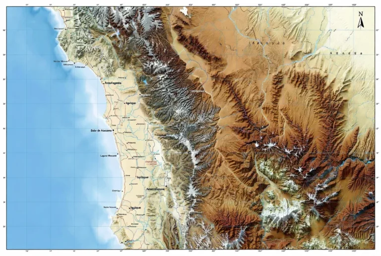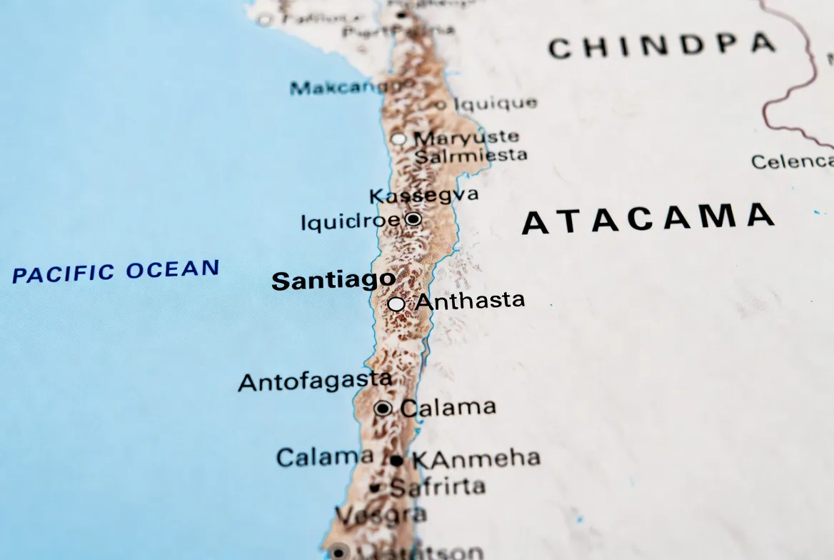
Atacama Desert Map (Chile): Routes & GPX
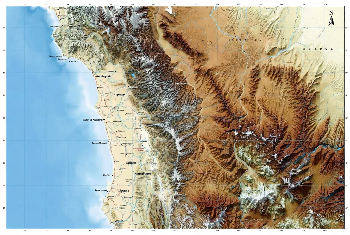
Traveler-ready Atacama maps: interactive layers, printable PDFs, GPX/KML/GeoJSON, safe Calama–San Pedro times, stargazing, 1–7 day routes.

Complete Atacama Desert map hub: interactive layers, printable PDFs, GPX/KML downloads, stargazing maps, and 1–7 day itineraries.
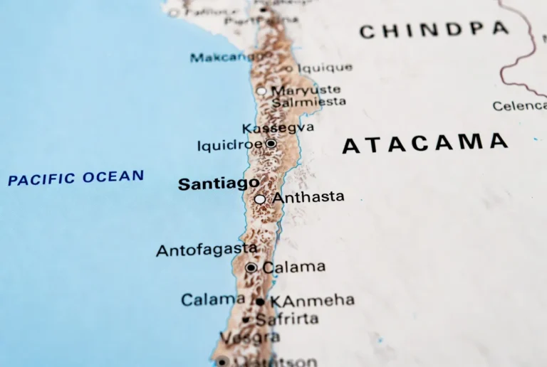
Interactive and printable Atacama Desert maps of Chile with routes, distances, stargazing layers, and offline GPS downloads. PDFs plans
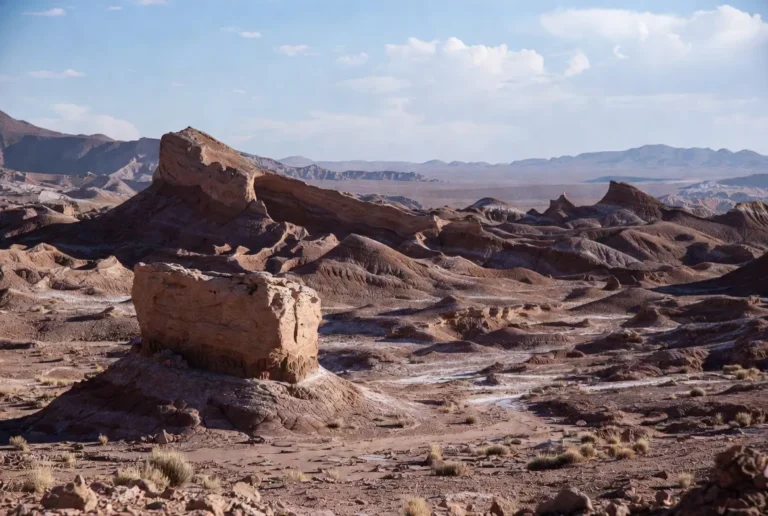
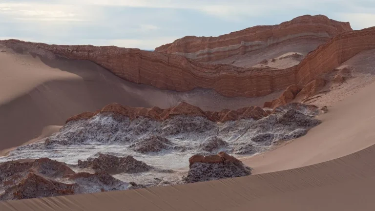
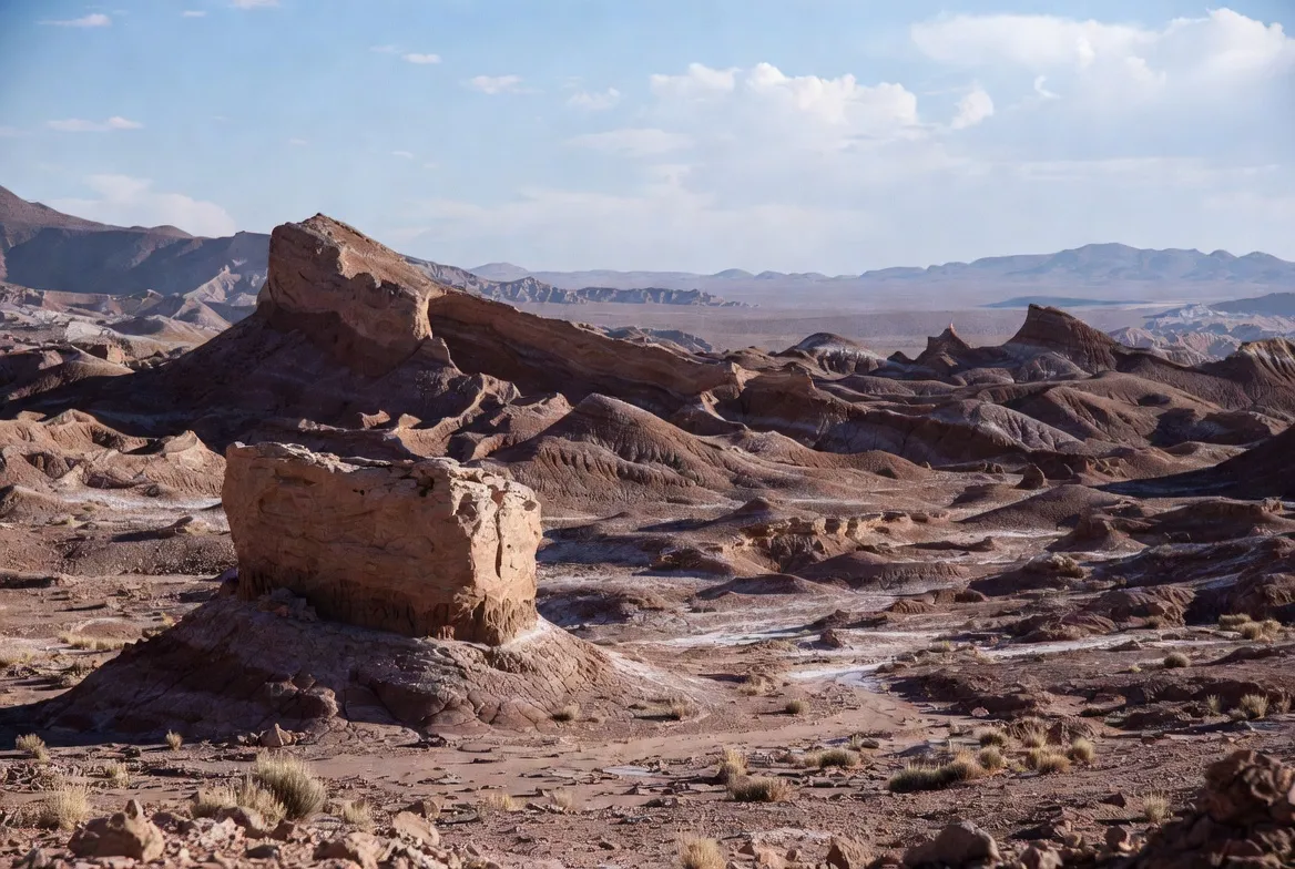
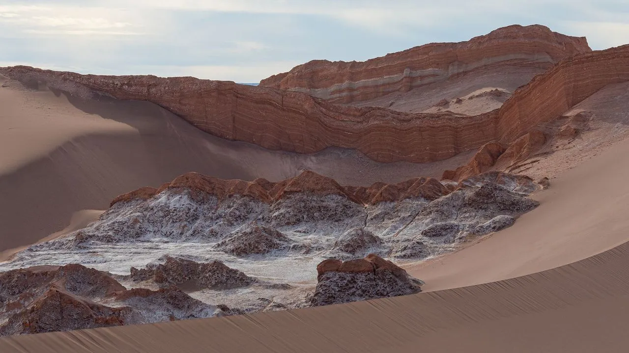
Simple guide to the Atacama Desert: best places to visit, when to go, short itineraries, altitude safety tips, and travel advice.
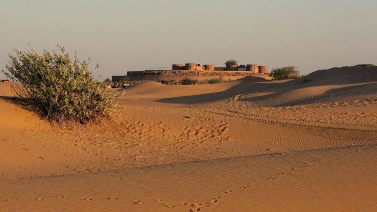
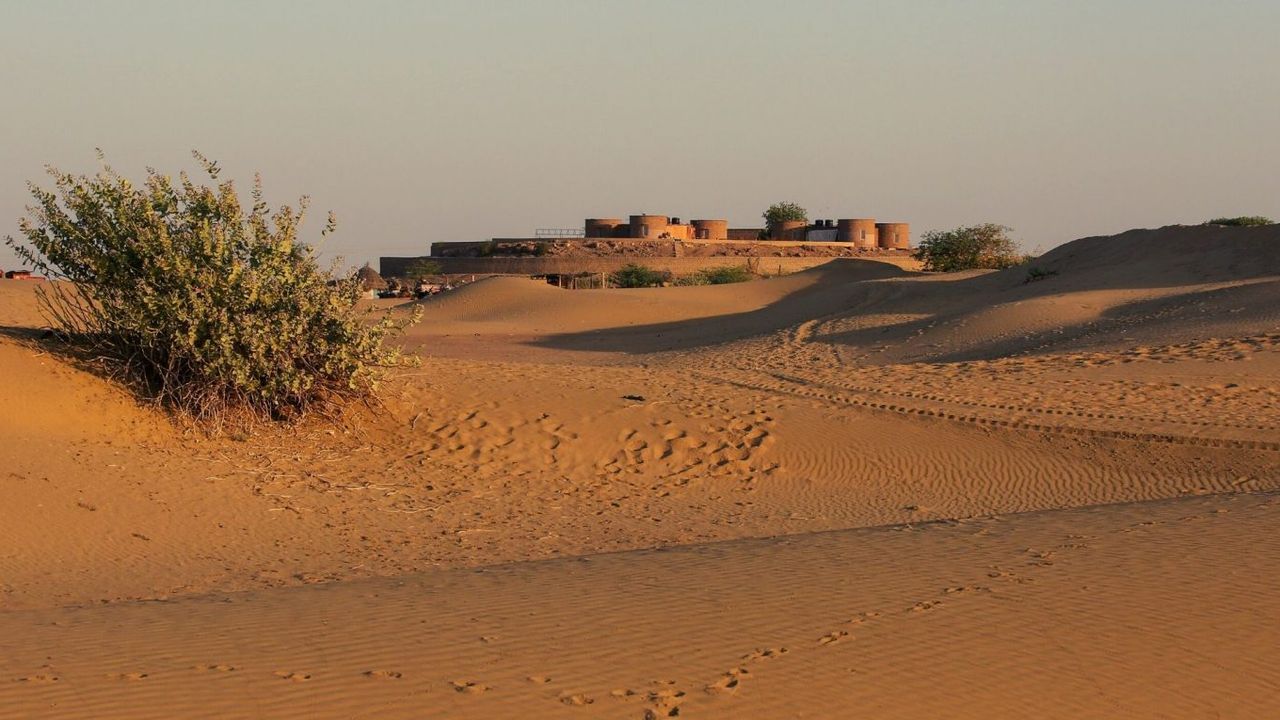
Download high-res Thar Desert maps (SVG, PDF, KML) showing India–Pakistan boundaries, major cities, climate, travel tips & A3 prints.
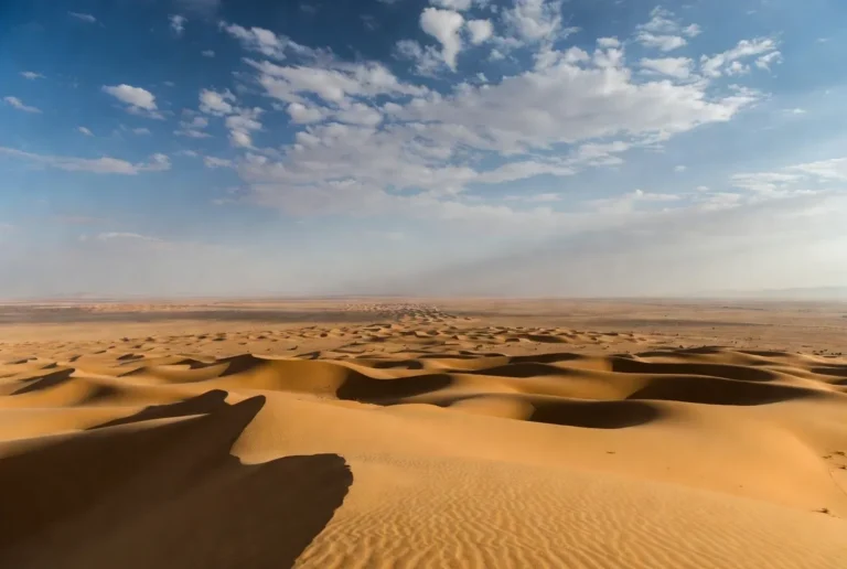
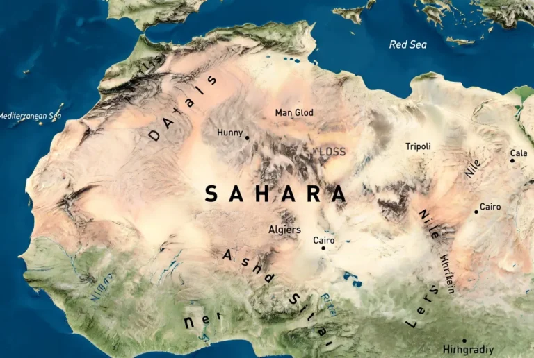
Find the Sahara Desert on the map — which countries it covers, its size, climate, best places to visit, travel tips, and…
Explore the Sahara Desert: maps, facts, landscapes, Green Sahara history, 2024 Lake Iriqui rains, travel tips, tools & conservation.
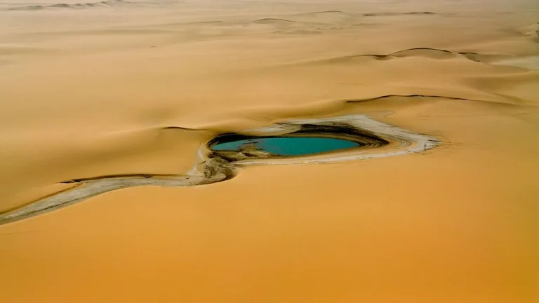
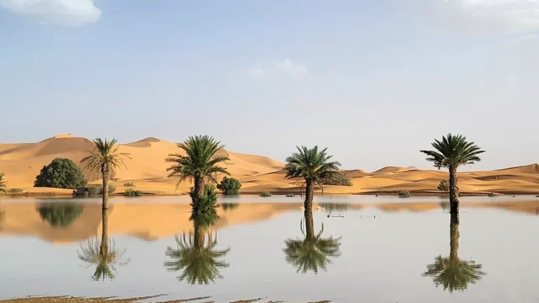
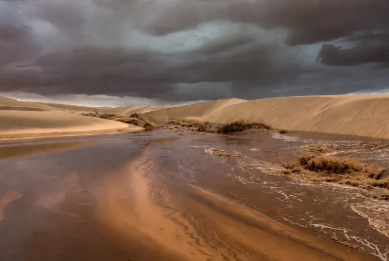
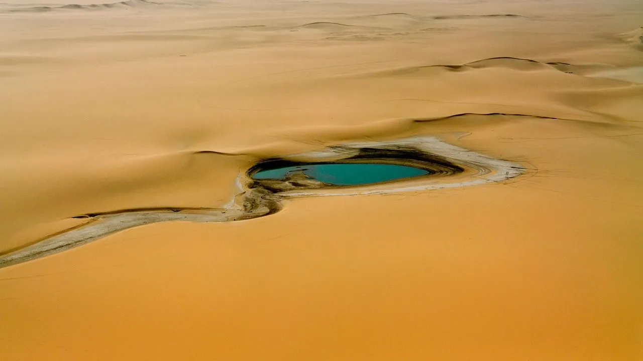
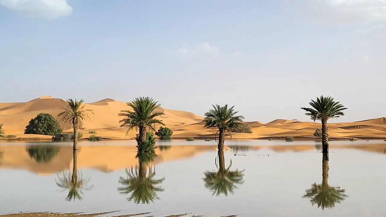
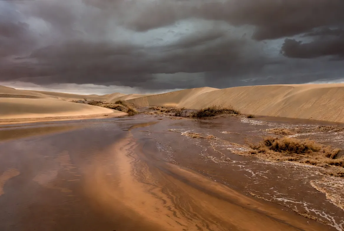
Rare September 2025 storms sent moisture deep into the Sahara, refilling Lake Iriqui, causing flash floods, wildlife and planning lessons.
Did the Sahara flood in the Bible? Compare the Green Sahara, African Humid Period, paleolakes, and Noah’s Flood using timelines and evidence.
Find the Sahara on layered maps, countries it spans, area & climate, travel tips, conservation, GeoJSON/print maps, and ready assets.
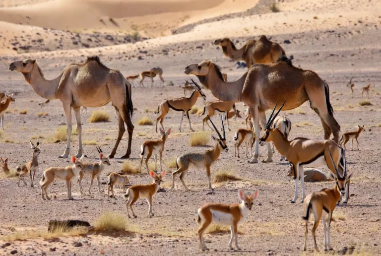
Discover 80+ Sahara animals—mammals, birds, reptiles & insects—with maps, photos, habitats, adaptations, sightings & conservation tips.
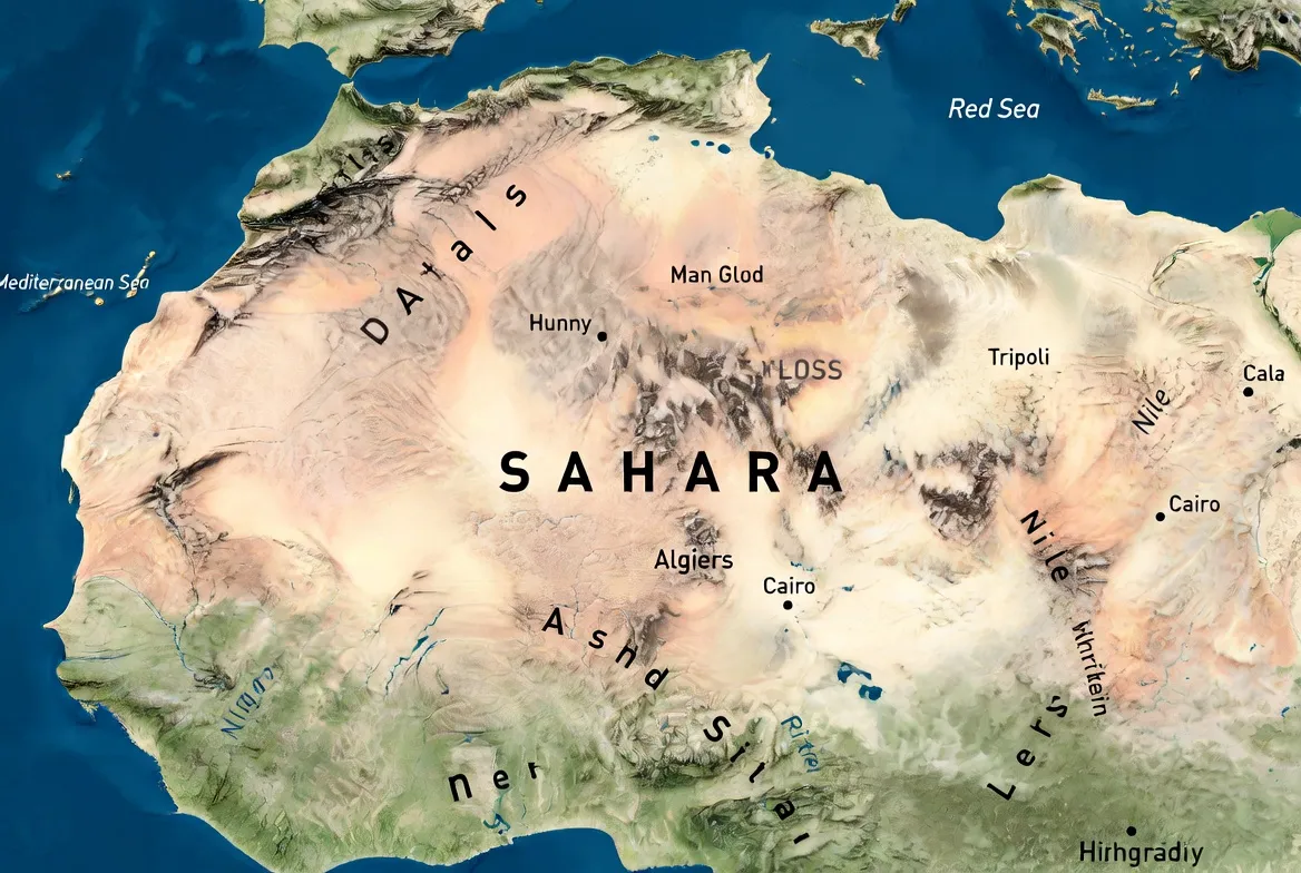
See the Sahara on the map: exact location, countries it spans, and interactive political, satellite, and climate maps for travellers.
Traveler-ready Atacama maps: interactive layers, printable PDFs, GPX/KML/GeoJSON, safe Calama–San Pedro times, stargazing, 1–7 day routes.
Complete Atacama Desert map hub: interactive layers, printable PDFs, GPX/KML downloads, stargazing maps, and 1–7 day itineraries.
Interactive and printable Atacama Desert maps of Chile with routes, distances, stargazing layers, and offline GPS downloads. PDFs plans
Simple guide to the Atacama Desert: best places to visit, when to go, short itineraries, altitude safety tips, and travel advice.
Download high-res Thar Desert maps (SVG, PDF, KML) showing India–Pakistan boundaries, major cities, climate, travel tips & A3 prints.
Find the Sahara Desert on the map — which countries it covers, its size, climate, best places to visit, travel tips, and downloadable maps.
Explore the Sahara Desert: maps, facts, landscapes, Green Sahara history, 2024 Lake Iriqui rains, travel tips, tools & conservation.
Rare September 2025 storms sent moisture deep into the Sahara, refilling Lake Iriqui, causing flash floods, wildlife and planning lessons.
Did the Sahara flood in the Bible? Compare the Green Sahara, African Humid Period, paleolakes, and Noah’s Flood using timelines and evidence.
Find the Sahara on layered maps, countries it spans, area & climate, travel tips, conservation, GeoJSON/print maps, and ready assets.
Discover 80+ Sahara animals—mammals, birds, reptiles & insects—with maps, photos, habitats, adaptations, sightings & conservation tips.
See the Sahara on the map: exact location, countries it spans, and interactive political, satellite, and climate maps for travellers.